GIS | Cartography | Spatial Analysis
This portfolio features a selection of mapping and GIS projects spanning Earth and planetary applications. The work reflects my development in cartography, spatial analysis, and geospatial visualization through independent research, applied coursework, and research-based projects.
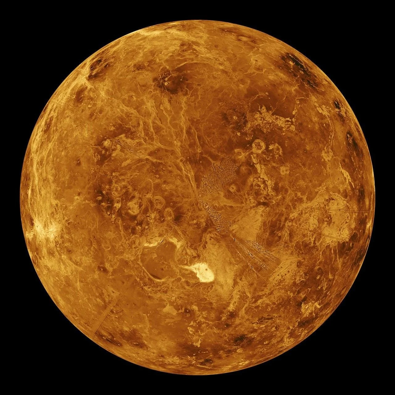
Across my projects, I use GIS and cartographic design to explore how spatial patterns, on Earth and on other planetary bodies, shape our understanding of risk, process, and place. My work ranges from hazard mapping focused on socioeconomic vulnerability and seismic risk to planetary surface mapping using radar data from Venus. Together, these projects emphasize visual interpretation, thoughtful workflow design, and clear communication using maps not just as analytical tools, but as a way to make complex systems legible, comparable, and meaningful to diverse audiences.